I like to use Python and ArcGIS. I'm fluent in TypeScript, Java, and R. I'm currently looking for work in the GIS field, but I'm open to any opportunities that allow me to apply my skills and knowledge.
I like making, integrating, and sharing GIS solutions and projects
I combine my backgrounds in Physics, Geography, and Computer Science to conduct GIS analysis all over the world!
I graduated from Chaffey Community College in Rancho Cucamonga where I played water polo and earned a specialized AA called Intersegmental General Education Transfer Curriculum (IGETC). I spent 3 years at UCSB and graduated in 2020
with a double major in Geography and Physics. My Geography degree came with a specialization in GIS, and I wanted to further pursue it at the highest level. In 2021, I was accepted into the Geography department at CU, Boulder as a
Master's student under Dr. Guofeng Cao at STARlab. From there, I began to further develop my research skills and contribute to ongoing projects in the field of GIS and spatial analysis.
Now that I've graduated, I am seeking opportunities to apply my knowledge and skills in a professional setting. Overall, I'd summarize my experience as a multidisciplinary scholar with a strong foundation in Geography, Data Science, and Physics.
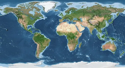
What is GIS?
Geographic Information Science
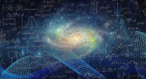
Writing Earth's History with Data Science
Programming is like playing with Legos...but the instructions are often unclear. Each lego piece must be handmade. I've been fortunate enough to be apart of many research projects over the last decade that require many different types of lego bricks. There are many freely avaliable sources to help you and I build these.
My understanding of them is rather...basic, as I believe all coding was meant to be. The more complex the topic, the more I rely on these resources to determine advanced techniques, and better explain how they work.
I thought I'd narrow down some helpful tutorials and resources for the three programming languages I use most often. These are not meant to be comprehensive, but rather a starting point for anyone interested in learning more about programming and data science.
Geography
Space, Place, and Time
Data Science
Programming and Syntax
Physics
Matter, Energy, and Force
My thesis focused on surface ozone modeling. Using Google Earth Engine, EPA Air Quality Data, GitHub, and Python, I started the skeleton of an ML air pollution
model with geospatially corrected residuals trained on monitoring locations. The motivation for this can be seen in my early research projects and posters before I
started graduate school. This required numerous trials and errrors regarding data sources, software, and programming languages. I've specialized in 3 main programming languages that I use for different purposes:
Java
Object-Oriented Programming
Applications, Webkits, and GUIs
Python
Data Science and Automation
The premier machine learning language
R
The Statistician's Language
Easy, intuitive, and optimized for statistics
Accomplishments and Interests
Working Projects and Published Material
These are fun projects, published material, and examples of GIS work from my teaching and research experiences
I had the pleasure of working with NC CASC as a CEST member to research a topographic signature of life. I wrote blog detailing it's
importance and furture directions. This was part of a program called the Climate Adaptation Scientists of Tomorrow which funded my
final semester at CU.
The FIRe Event Delineation tool (FIREDPY) created by Earth Lab at CU. I was briefly apart of some summer work that fixed some edge-case
issues on the program. It's classifies individual burn detections into discrete events for further analysis (Balch et. al., 2020).
This will take you to an excerpt from my thesis. I only included the first two chapters, and then summarized the rest. These maps are meant to
expedite the speed of and reliability of orthorectified satellite imagery. After focusing on the machine learning and geostatistical applications
of my work, I hope to apply my findings to more human centric research.
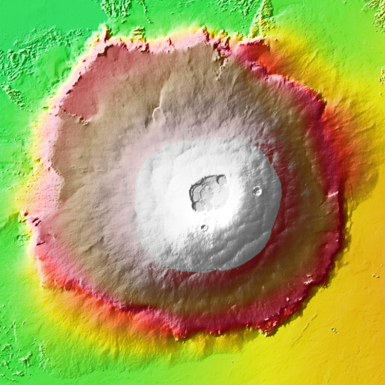
A potential biosignature is a substance or structure that might have a biological origin but requires
more data or further study before reaching a conclusion about the absence or presence of life. Do they
exist? If so, can we detect them in the topographic scape of Earth?
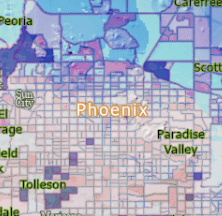
This is a working version of an EPA map that I'd like to finish making for public health research. If the user imports a table that contains addresses and duration of stay. For now, it's just a fun GIS application showing avaliable EPA monitors for the US.
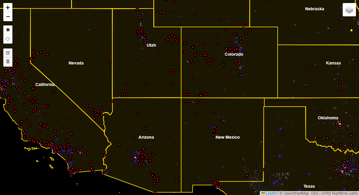
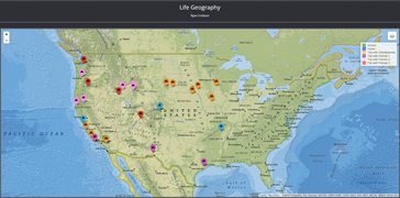
This is my first web-based leaflet map. As my network and social life grows, I hope to expand this map with more international points. Most of the road trips I've taken have been
across the contiguous US with my Grandparents. My favorite places and future destinations are on it as well!